Terrasolid TerraScan
- 1Runs onWindows
- 2Costsfree trial · paid from €47.50/mo
- 3Point-cloud registrationYes
- 4Point classificationYes
- 5Processing modedesktop
- 6E57 supportYes
- 7LAS/LAZ supportYes
- 8Geospatial analysisYes
Overview
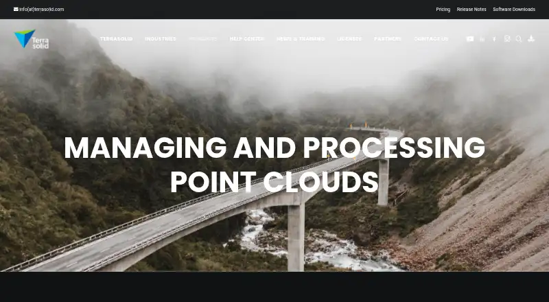
Terrasolid TerraScan is Windows desktop software for managing, processing, and visualizing point clouds, including tools for creating 3D vector data from laser points. Automatic classification routines can be refined with semi-automatic and manual tools. It can generate 3D building vector models up to LOD2 over large areas and vectorize power lines. Classification routines can be combined into macros for batch processing, and TerraBatch can run macros on other workstations over a LAN. Import and export formats include LAS, LAZ, TerraScan Binary, TerraScan Fast Binary, and user-defined ASCII formats. TerraScan supports point-cloud registration, E57, point classification, and geospatial analysis. The available editions are Full, UAV, and Lite, with network or node-locked licenses. A network license allows multiple users on the same network to share product licenses. Use cases listed by the maker include urban planning, asset management, emergency response, mapping, powerline, road, railway, water resources, forestry, and mining. Paid plans include subscriptions and perpetual licenses; a free trial is available, and no free plan is listed.
Who it is for
TerraScan suits mapping and geospatial teams working with laser-point clouds in fields such as urban planning, utilities, transport, forestry, and mining. Its editions and network licensing also accommodate different licensing arrangements.
What is good
- Automatic classification with manual refinement tools.
- Batch macros can run across workstations on a LAN.
- Supports LAS, LAZ, and E57.
- Offers Full, UAV, and Lite editions.
- Network licenses can be shared on the same network.
What to know first
- Windows is the only listed platform.
- No free plan is available.
- Perpetual licenses have separate annual maintenance costs.
Verdict
TerraScan combines point-cloud processing, classification, and vector modeling with batch workflows and multiple license types. It is paid software with a free trial, and perpetual licenses carry separate annual maintenance costs.
Terrasolid TerraScan plans and pricing
All plansCompared on point cloud software
- Free plan
- Noterrasolid.com
- Point-cloud registration
- Yesterrasolid.com
- Point classification
- Yesterrasolid.com
- Processing mode
- desktopterrasolid.com
- E57 support
- Yesterrasolid.com
- LAS/LAZ support
- Yesterrasolid.com
- Geospatial analysis
- Yesterrasolid.com
Facts
- Product purpose
- TerraScan manages, processes, and visualizes point clouds and includes tools for creating 3D vector data from laser points.terrasolid.com · 4 Oct 2026
- Classification
- Automatic classification routines can be refined with semi-automatic and manual classification tools.terrasolid.com · 4 Oct 2026
- Automated modeling
- TerraScan can automatically create 3D building vector models up to LOD2 over large areas and vectorize power lines.terrasolid.com · 4 Oct 2026
- Batch processing
- Classification routines can be combined in macros for batch processing, and TerraBatch can run macros outside TerraScan on other workstations over a LAN.terrasolid.com · 4 Oct 2026
- File formats
- Supported import and export formats include LAS, LAZ, TerraScan Binary, TerraScan Fast Binary, and user-defined ASCII formats.terrasolid.com · 4 Oct 2026
- Editions
- TerraScan is available in Full, UAV, and Lite versions.terrasolid.com · 4 Oct 2026
- Platforms
- Terrasolid applications run on Spatix or supported Bentley platforms; listed Bentley platforms include MicroStation, PowerDraft, OpenCities Map, OpenRoads Designer, and ContextCapture Editor.terrasolid.com · 4 Oct 2026
- Platform limitation
- The maker describes Spatix as lightweight CAD that may not provide all the functionality available on supported Bentley platforms.terrasolid.com · 4 Oct 2026
- Licensing
- Licenses are available as network or node-locked, with a network license allowing multiple users on the same network to share product licenses.terrasolid.com · 4 Oct 2026
- Free trial
- The pricing page invites users to request a free trial, and the licensing page says evaluation licenses can be requested during registration.terrasolid.com · 4 Oct 2026
- Support
- The maintenance agreement describes support as replies to technical questions and reasonable efforts to resolve problems, while excluding training and consulting.terrasolid.com · 4 Oct 2026
- Security and privacy
- Terrasolid says databases holding personal data are protected by firewalls, passwords, and other technical measures and kept in locked premises with access limited to designated persons.terrasolid.com · 4 Oct 2026
- Intended users
- The maker lists applications including urban planning, asset management, emergency response, mapping, powerline, road, railway, water resources, forestry, and mining.terrasolid.com · 4 Oct 2026
Company
- Headquarters
- Helsinki, Finlandterrasolid.com · 28 Sept 2026
Best Terrasolid TerraScan alternatives
See all 20



Where it ranks on Specifiction
Is Terrasolid TerraScan yours?
Claim it for free: prove the domain, then correct facts, plans and screenshots. An editor reviews every change.
Sources
- terrasolid.com/products/terrascan/· checked 4 Oct 2026
- terrasolid.com/software-downloads/· checked 4 Oct 2026
- terrasolid.com/licenses/· checked 4 Oct 2026
- terrasolid.com/pricing/· checked 4 Oct 2026
- terrasolid.com/download/maintenance_agreement_Terrasol· checked 4 Oct 2026
- terrasolid.com/disclaimer/· checked 4 Oct 2026