Best DroneDeploy Aerial Alternatives in 2026
Updated
20 tools from GIS software ranked against DroneDeploy Aerial on the same published basis.
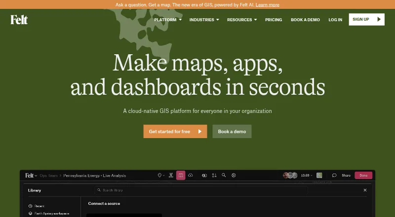
- 1DroneDeploy Aerial vs Felt
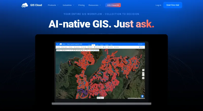
- 2DroneDeploy Aerial vs GIS Cloud
- 3DroneDeploy Aerial vs QGIS Cloud
- 4DroneDeploy Aerial vs SuperMap GIS
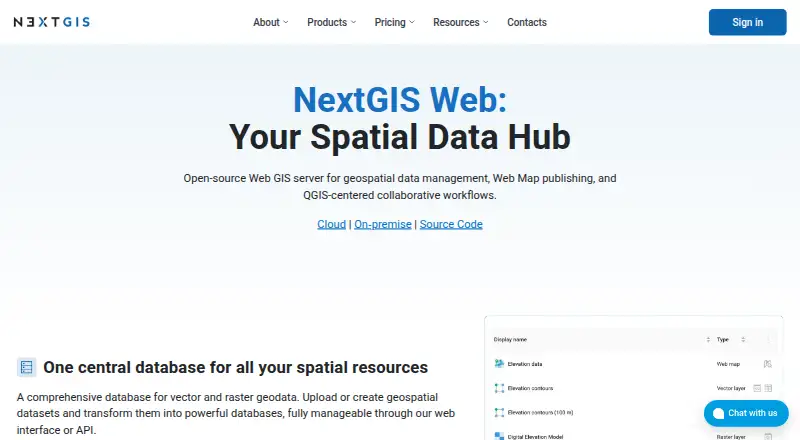
- 5DroneDeploy Aerial vs NextGIS Web
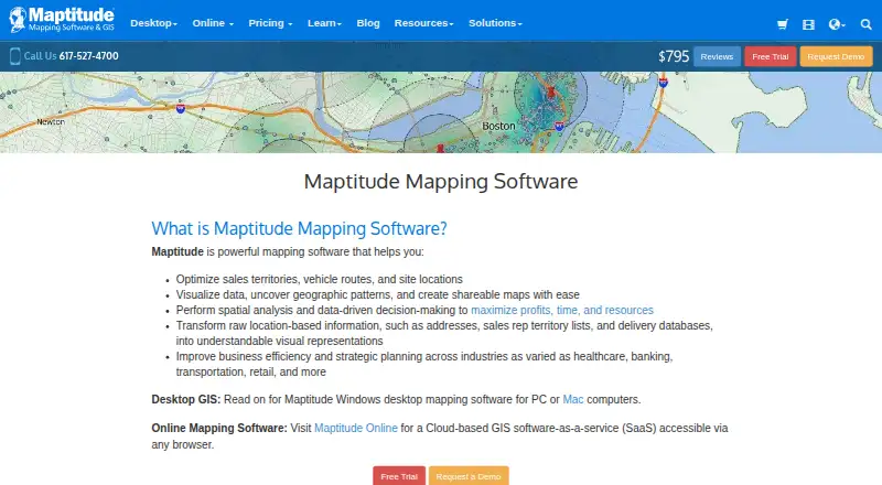
- 6DroneDeploy Aerial vs Maptitude
- 7DroneDeploy Aerial vs QGIS
- 8DroneDeploy Aerial vs GRASS GIS
- 9DroneDeploy Aerial vs Google Earth Engine
- 10DroneDeploy Aerial vs GPXSee
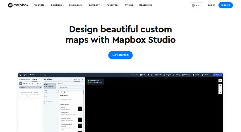
- 11DroneDeploy Aerial vs Mapbox Studio
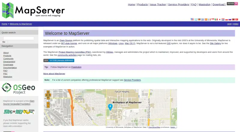
- 12DroneDeploy Aerial vs MapServer
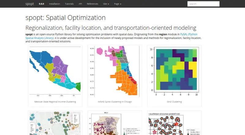
- 13DroneDeploy Aerial vs spopt
- 14DroneDeploy Aerial vs eSpatial
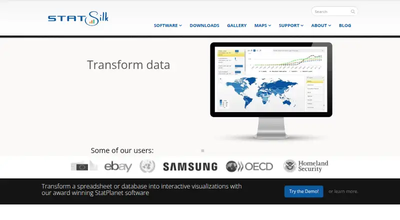
- 15DroneDeploy Aerial vs StatSilk
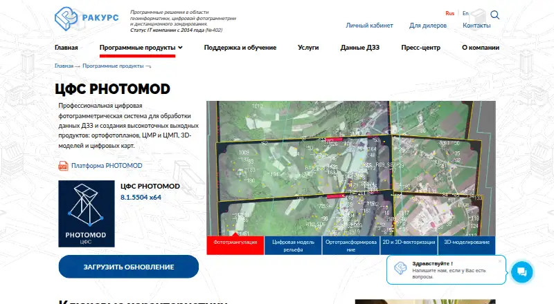
- 16DroneDeploy Aerial vs PHOTOMOD
- 17DroneDeploy Aerial vs Precisely EnterWorks
- 18DroneDeploy Aerial vs CARTO
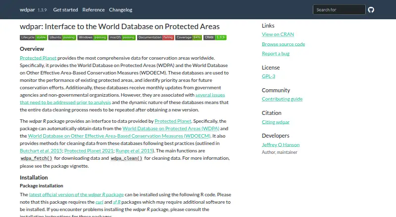
- 19DroneDeploy Aerial vs wdpar
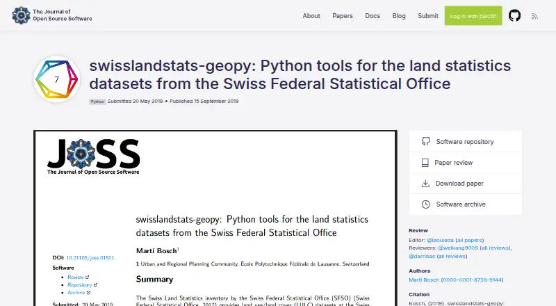
- 20DroneDeploy Aerial vs swisslandstats-geopy












DroneDeploy Aerial alternatives compared
| # | Tool | Score | Free plan | From | Runs on |
|---|---|---|---|---|---|
| 1 | Felt | 8.0 | Free plan | Free | Android, API, iOS, Linux, Mac, self-hosted, Web, Windows |
| 2 | GIS Cloud | 7.7 | Free plan | $5/mo | Android, API, iOS, self-hosted, Web |
| 3 | QGIS Cloud | 7.7 | Free plan | Free | Android, Browser, iOS, Linux, Mac, Web, Windows |
| 4 | SuperMap GIS | 7.6 | No | — | Android, API, iOS, Linux, self-hosted, Web, Windows |
| 5 | NextGIS Web | 7.5 | Free plan | €15/mo | API, Linux, self-hosted, Web |
| 6 | Maptitude | 7.4 | No | $66.25/mo | Android, iOS, Mac, Web, Windows |
| 7 | QGIS | 7.4 | Free plan | Free | Android, iOS, Linux, Mac, self-hosted, Windows |
| 8 | GRASS GIS | 7.3 | Free plan | Free | API, Linux, Mac, self-hosted, Web, Windows |
| 9 | Google Earth Engine | 7.2 | Free plan | $0.40/mo | API, Linux, Web |
| 10 | GPXSee | 7.2 | Free plan | Free | Android, Linux, Mac, Windows |
| 11 | Mapbox Studio | 7.1 | Free plan | Free | Android, API, iOS, Web |
| 12 | MapServer | 7.1 | Free plan | Free | API, Linux, Mac, self-hosted, Web, Windows |
| 13 | spopt | 7.1 | Free plan | Free | Linux, Mac, Windows |
| 14 | eSpatial | 6.9 | No | $41.58/mo | Android, API, iOS, self-hosted, Web |
| 15 | StatSilk | 6.9 | No | $41.25/mo | Web, Windows, Mac, iOS, Android |
| 16 | PHOTOMOD | 6.8 | No | — | Linux, self-hosted, Web, Windows |
| 17 | Precisely EnterWorks | 6.7 | No | — | API, Web, Windows |
| 18 | CARTO | 6.6 | No | — | API, self-hosted, Web |
| 19 | wdpar | 6.6 | No | — | Linux, Mac, Windows |
| 20 | swisslandstats-geopy | 6.5 | Free plan | Free | Linux |
Make your tool an alternative to DroneDeploy Aerial
See the priceThe sponsored alternative slot on this page is labelled Sponsored.
Questions about DroneDeploy Aerial alternatives
What is the best alternative to DroneDeploy Aerial?
Felt, number 1 in GIS software with a score of 8.0 out of 10. The others here: GIS Cloud, QGIS Cloud, SuperMap GIS and 16 more.
What is the best free alternative to DroneDeploy Aerial?
Felt is the best-ranked alternative with a free plan. 12 of the 20 alternatives here publish a free plan on their own pricing pages.
How are these alternatives ranked?
Ranked on what each maker publishes, the fullest spec sheet first: how deeply the product is documented, the platforms it runs on, a free tier or trial to test it, and its standing.